Perales Airport, IBE
A complete list of cities near the Perales Airport airport, ordered by distance:
Would you like to book a private jet or helicopter in Perales Airport?
JETVIP offers to organize charters in Perales Airport at any time, as soon as possible and from any city. Our employees will take care of all the worries associated with organizing the flight and transfer.
In order to order a business jet to / from Perales Airport you need to inform JETVIP employees the necessary data. We will answer all your questions and clarify all the nuances associated with VIP charter.
To order and rent a private jet and helicopter in Perales Airport call +33 6 67 26 51 18 or fill out the application form on our website jetvip.aero
Information
"Perales Airport" airprort in Colombia is the nearest airport to the city Ibagué. The aviation name of the airport according to IATA - IBE, and according to ICAO - SKIB. The airport is located at the following coordinates 4.42161; -75.1333 and altitude is 537.97 m above sea level.
Runways
By distance there are such airports as Santiago Vila Airport , El Eden Airport , La Nubia Airport , Matecaña International Airport
If you are interested in renting an aircraft to/from Perales Airport or from/to , use online flight quote calculator on private jet or send request to our managers byapplication form, or directly by «WhatsApp».
Our specialists will provide you with the best solution based on your wishes.
Save time and get a qualified specialist’s answer to all your questions right now
The World's Largest Business Jet Catalog
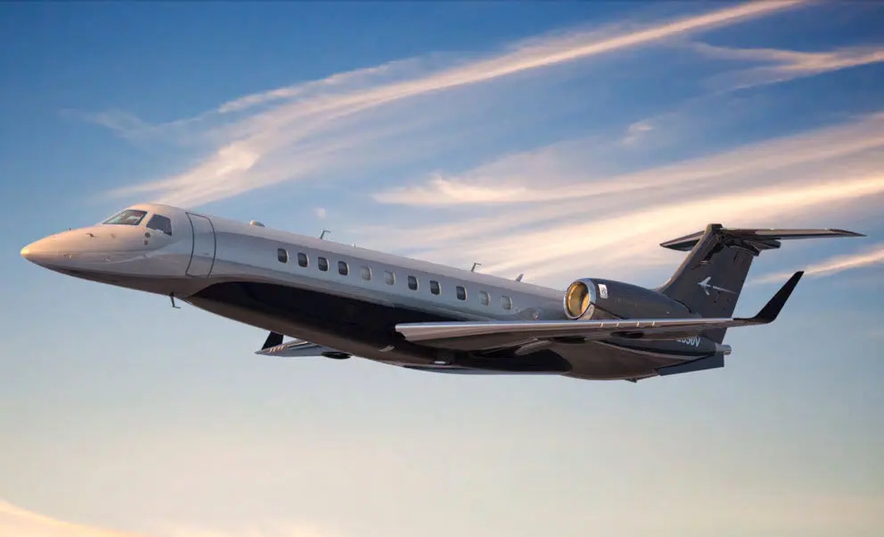
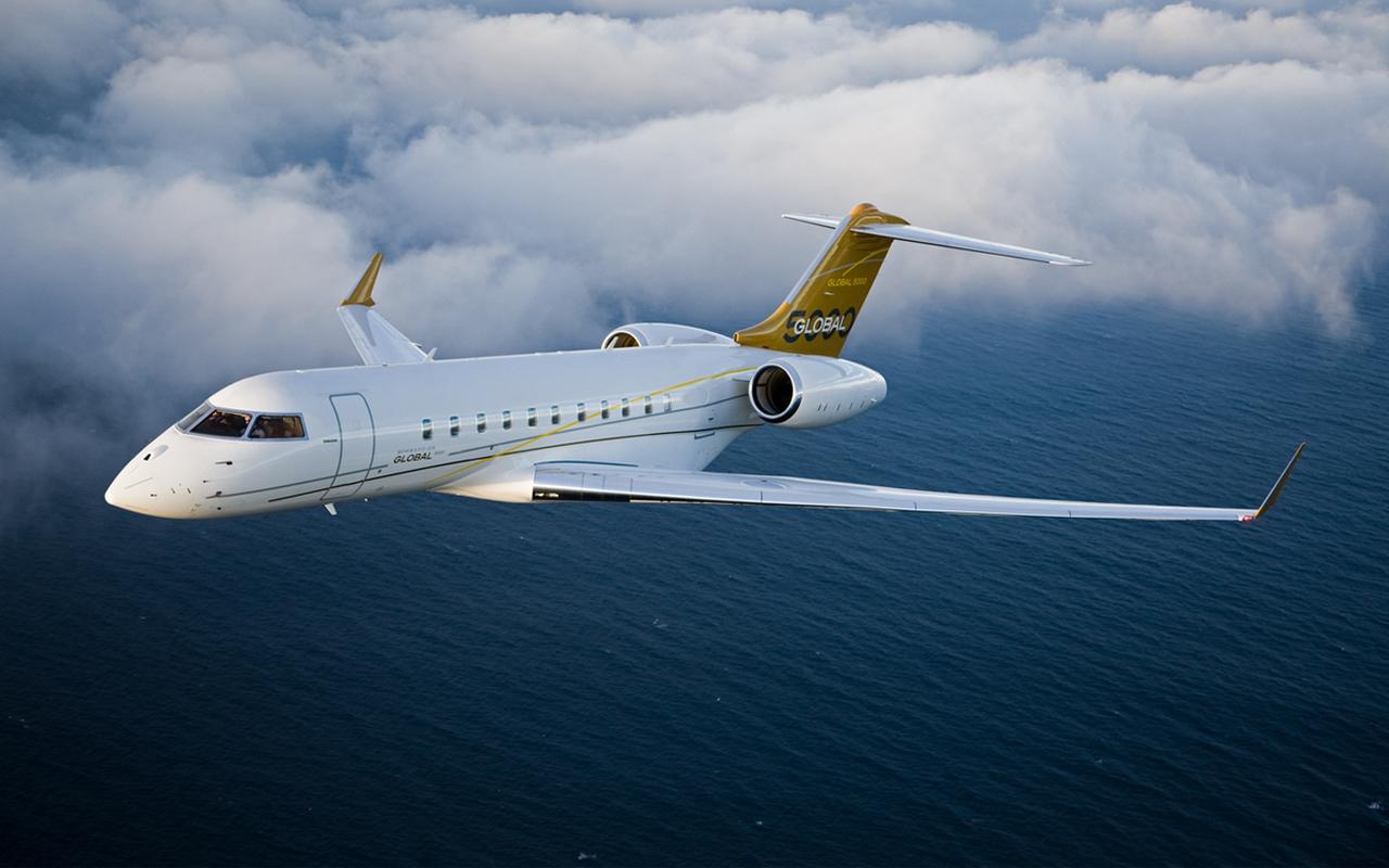
Capacity
up to 16 pers.
Cabin height
-
Flight time
Baggage
Rental price
8,300 € / h.
Estimated cost
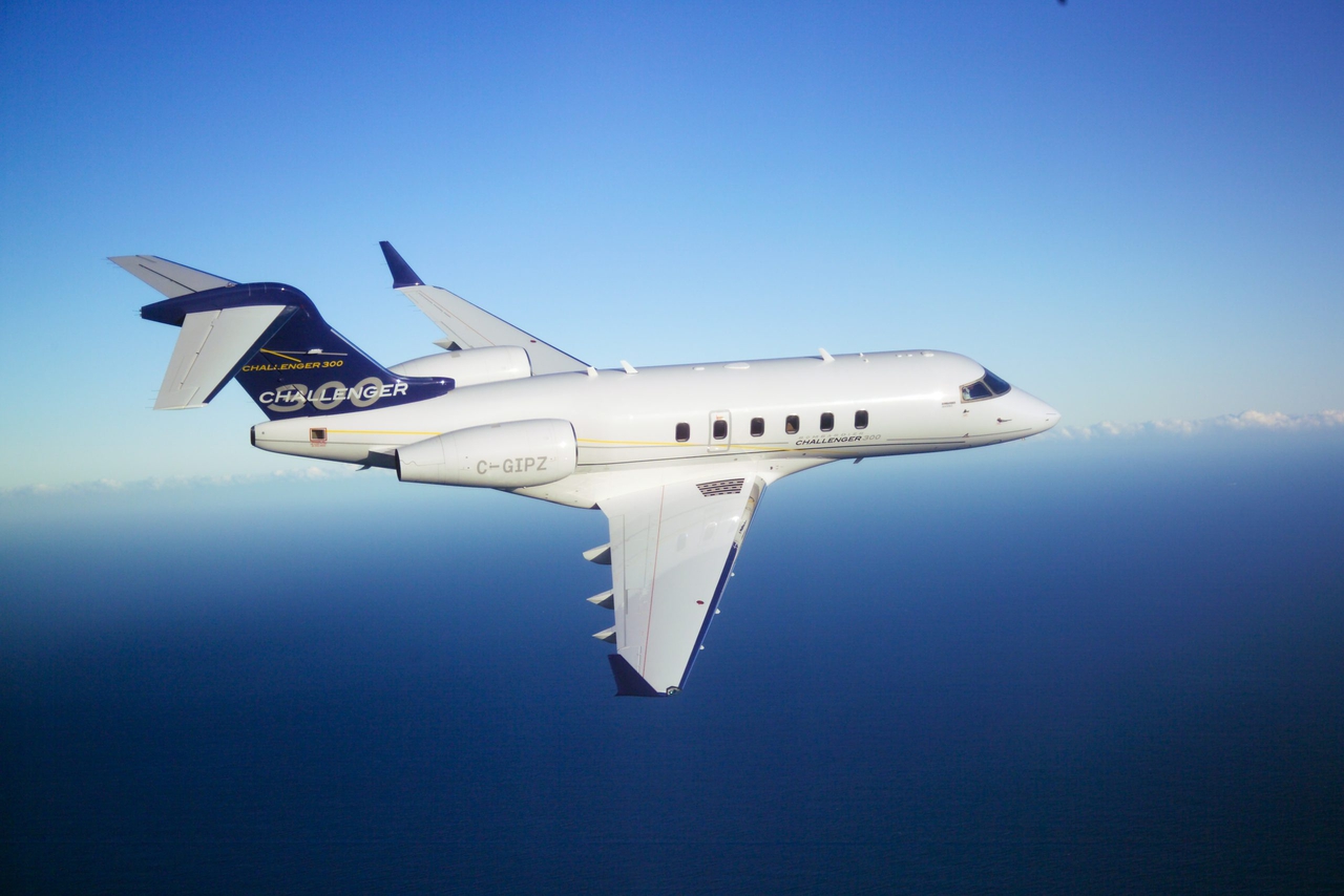
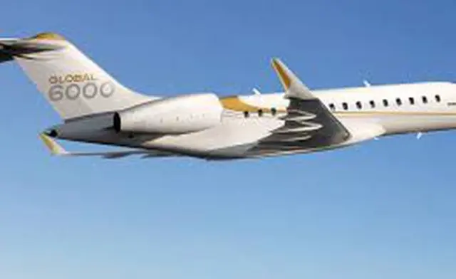
Capacity
up to 12 pers.
Cabin height
-
Flight time
Baggage
Rental price
5,600 € / h.
Estimated cost
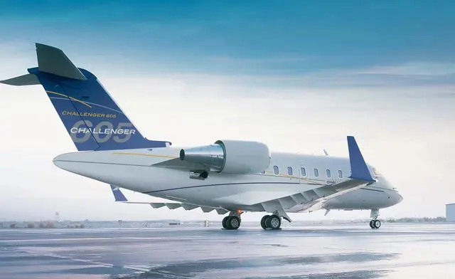
Capacity
up to 13 pers.
Cabin height
-
Flight time
Baggage
Rental price
5,600 € / h.
Estimated cost
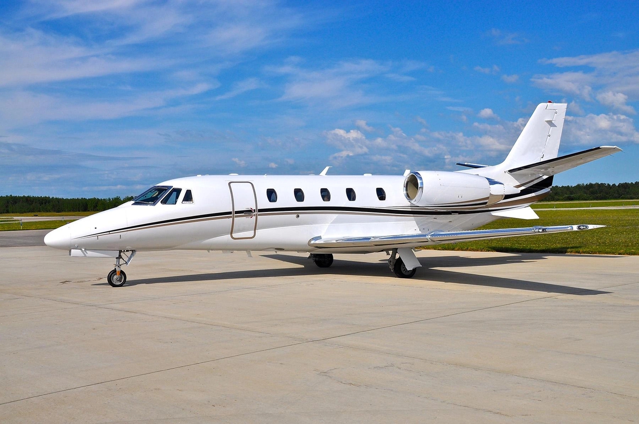
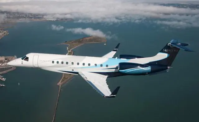
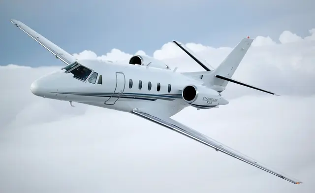
Capacity
up to 8 pers.
Cabin height
-
Flight time
Baggage
Rental price
3,700 € / h.
Estimated cost
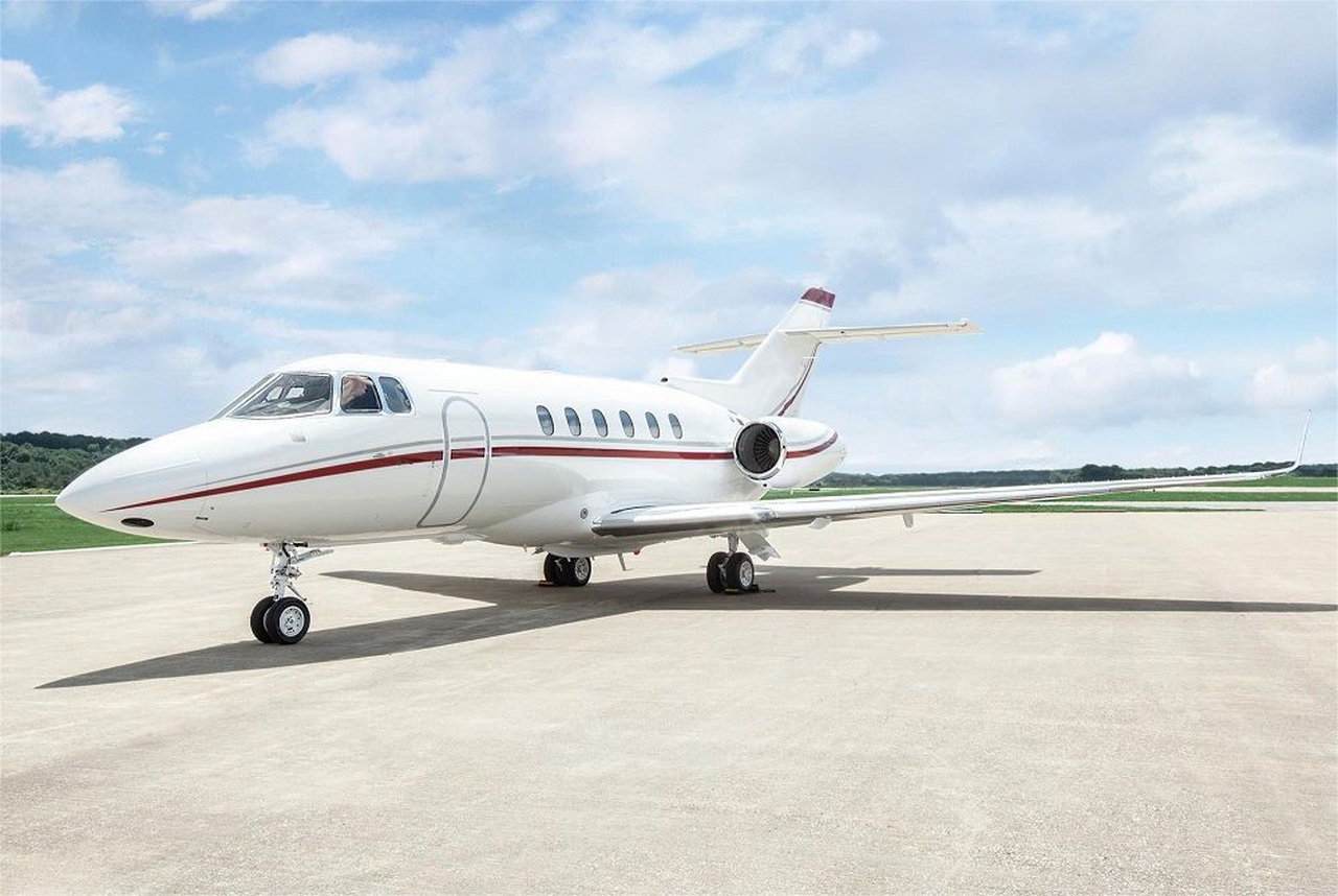
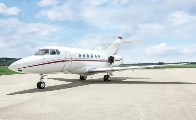
Capacity
up to 8 pers.
Cabin height
-
Flight time
Baggage
Rental price
3,600 € / h.
Estimated cost
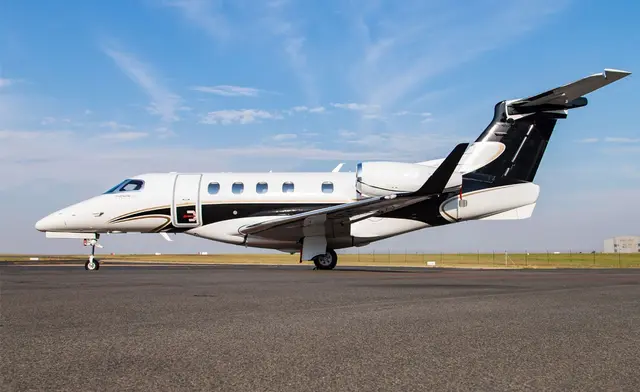
Capacity
up to 8 pers.
Cabin height
-
Flight time
Baggage
Rental price
3,600 € / h.
Estimated cost
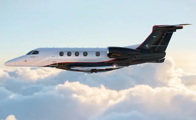
Capacity
up to 8 pers.
Cabin height
-
Flight time
Baggage
Rental price
3,500 € / h.
Estimated cost

Capacity
up to 8 pers.
Cabin height
-
Flight time
Baggage
Rental price
2,800 € / h.
Estimated cost
Estimated cost of popular flights
Estimated cost of popular flights