Doylestown Airport, DYL
Cities near the airport Doylestown Airport
Nearest city to the airport Montgomeryville
MontgomeryvilleCity Montgomeryville located in 14.0 km from airport Doylestown Airport.
The second most remote city is
LansdaleCity Lansdale is located in17.1 km. from airport Doylestown Airport.
And finally, the third most remote city
HorshamCity Horsham located in 17.2 km from airport Doylestown Airport.
Would you like to book a private jet or helicopter in Doylestown Airport?
JETVIP offers to organize charters in Doylestown Airport at any time, as soon as possible and from any city. Our employees will take care of all the worries associated with organizing the flight and transfer.
In order to order a business jet to / from Doylestown Airport you need to inform JetVip employees the necessary data. We will answer all your questions and clarify all the nuances associated with VIP charter.
To order and rent a private jet and helicopter in Doylestown Airport call +7 (495) 545-45-35 or fill out the application form on our website jetvip.aero
Airport information

-
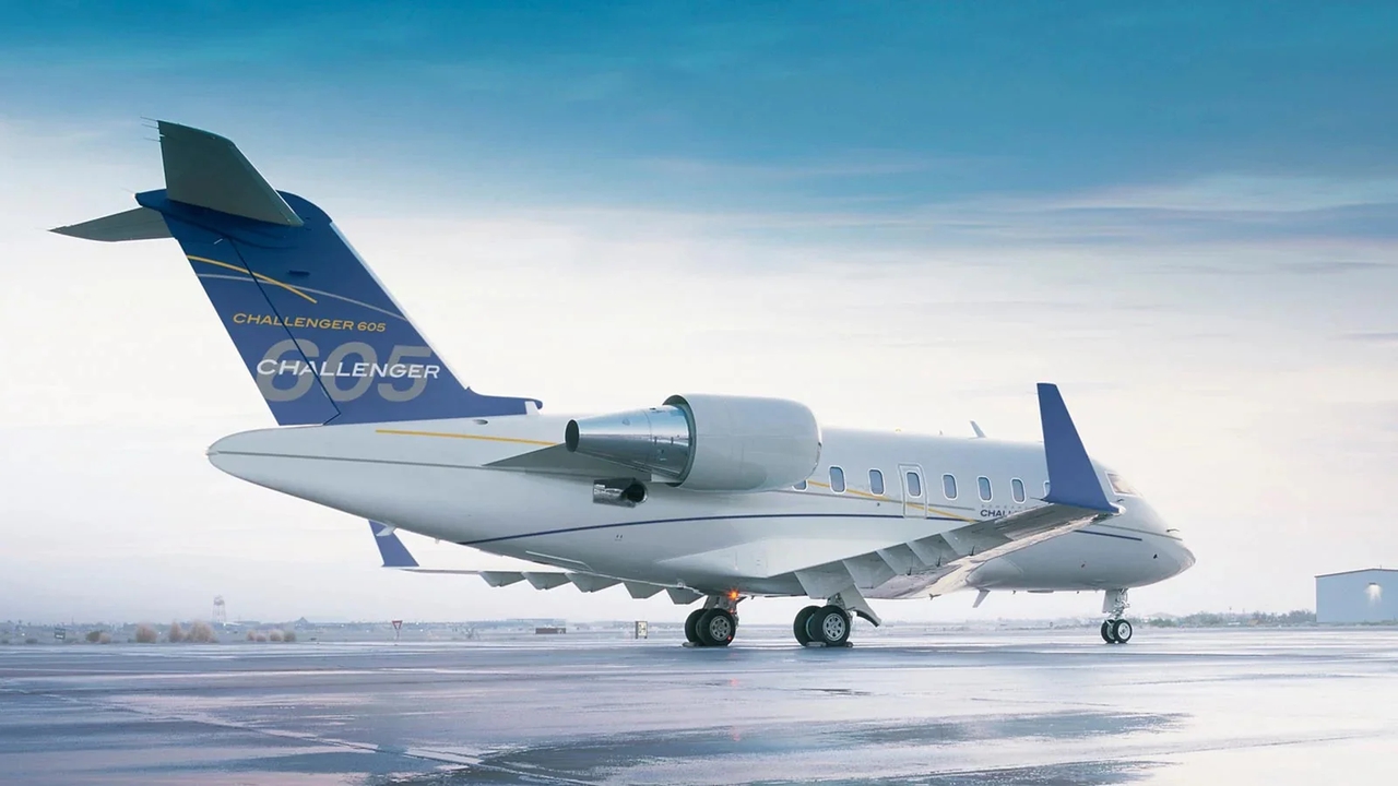
Cruise Speed901 km/h
-
Maximum Range11472 km
-
Number of seatsup to 16 pax
-
Baggage Volume5.52 m3
-
Cabin Height1.9 m
-
Cruise Speed850 km/h
-
Maximum Range7400 km
-
Number of seatsup to 12 pax
-
Baggage Volume3.3 m3
-
Cabin Height1.85 m

-
Cruise Speed850 km/h
-
Maximum Range7200 km
-
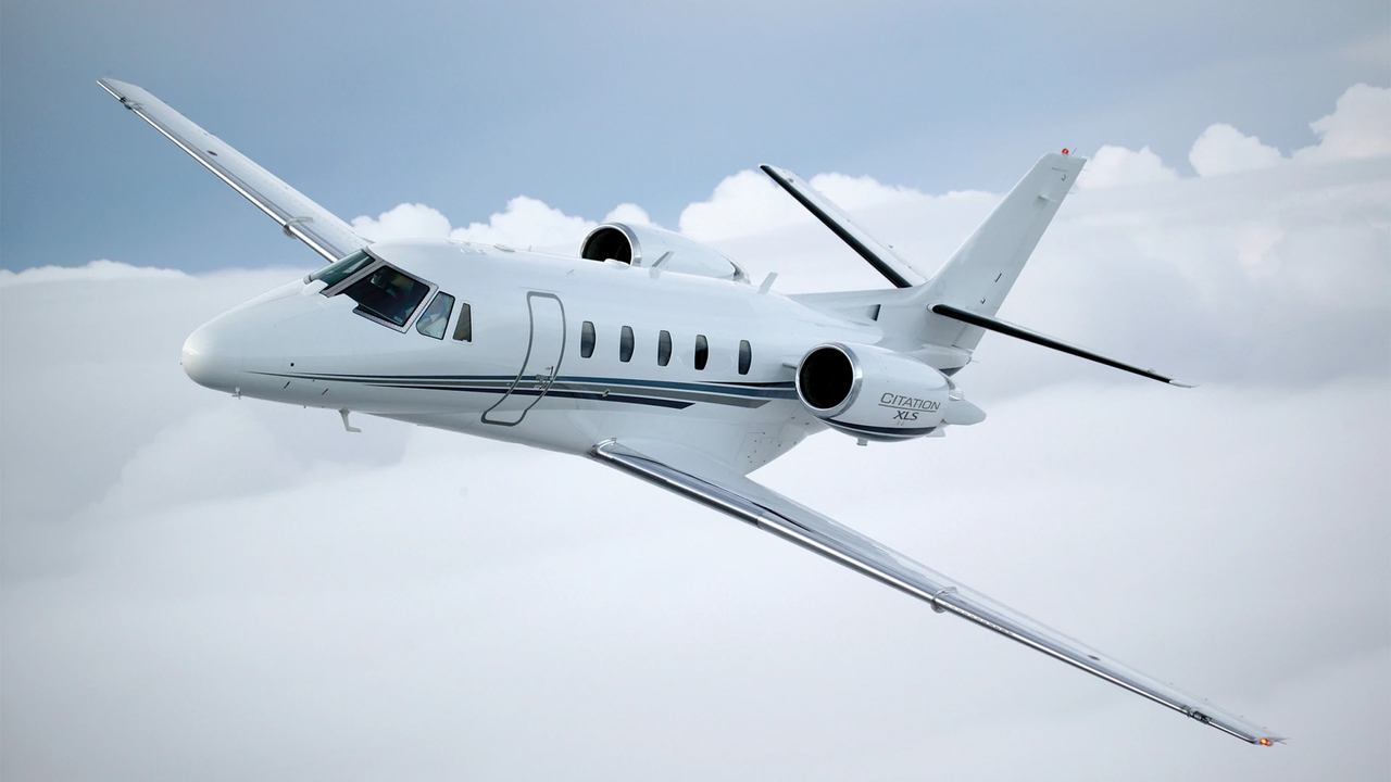
Number of seatsup to 13 pax
-
Baggage Volume6.8 m3
-
Cabin Height1.83 m
-
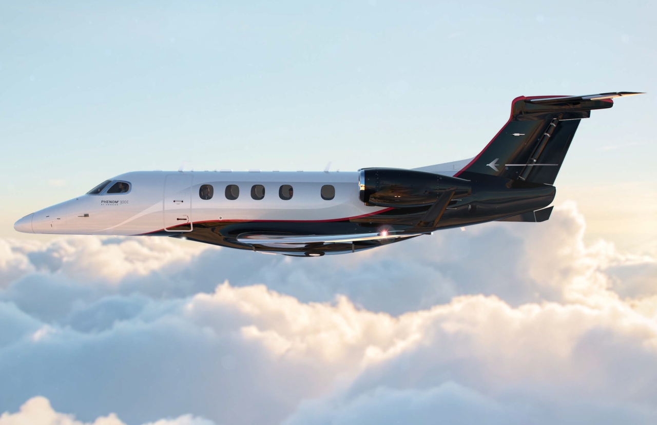
Cruise Speed839 km/h
-
Maximum Range3650 km
-
Number of seatsup to 8 pax
-
Baggage Volume2.15 m3
-
Cabin Height1.49 m
-
Cruise Speed834 km/h
-
Maximum Range3334 km
-
Number of seatsup to 8 pax
-
Baggage Volume2.15 m3
-
Cabin Height1.49 m
-
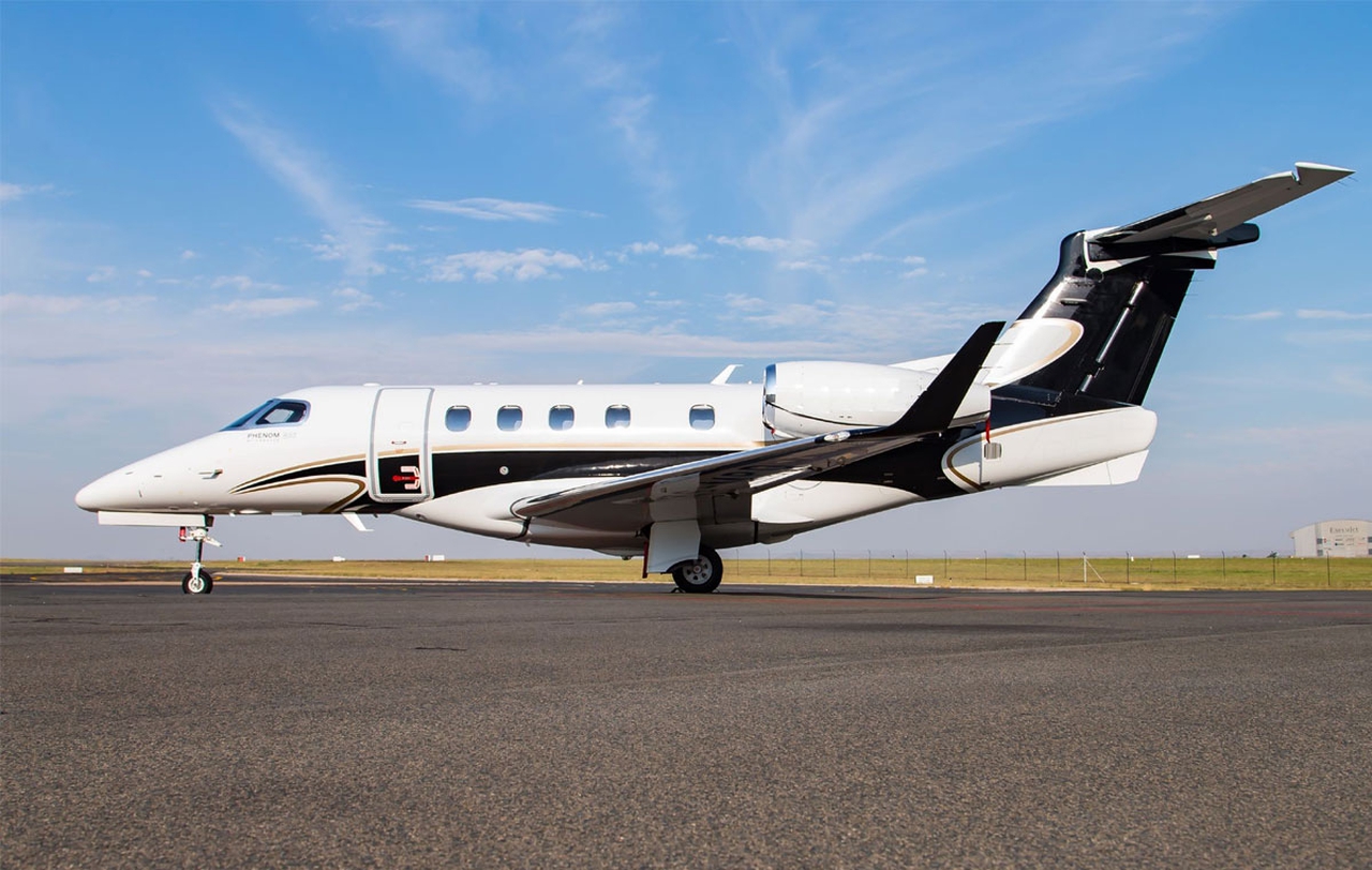
Cruise Speed793 km/h
-
Maximum Range4893 km
-
Number of seatsup to 8 pax
-
Baggage Volume1.4 m3
-
Cabin Height1.75 m
-
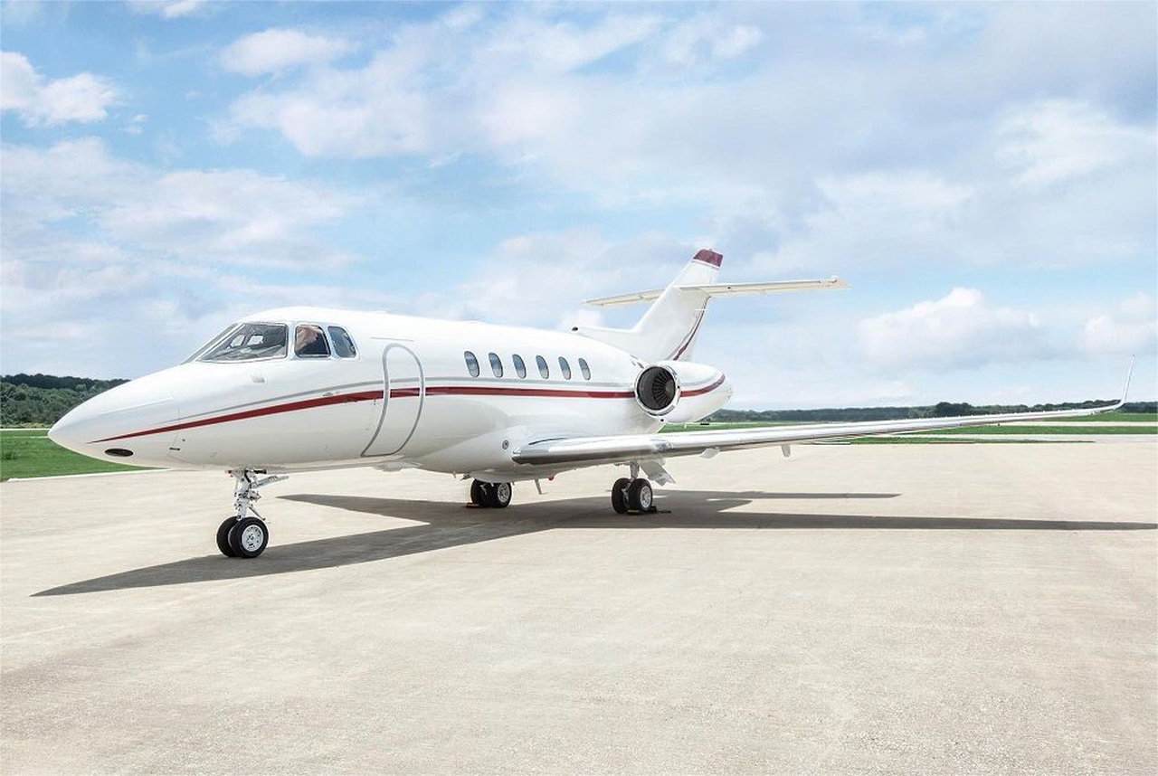
Cruise Speed815 km/h
-
Maximum Range3431 km
-
Number of seatsup to 8 pax
-
Baggage Volume2.55 m3
-
Cabin Height1.73 m

-
Cruise Speed772 km/h
-
Maximum Range3475 km
-
Number of seatsup to 8 pax
-
Baggage Volume1.8 m3
-
Cabin Height1.45 m
Full list of cities
near Doylestown Airport by distance:
14.0 km.
City Montgomeryville17.1 km.
City Lansdale17.2 km.
City Horsham21.0 km.
City Willow Grove23.6 km.
City Abington28.2 km.
City Ewing29.3 km.
City Bensalem29.9 km.
City Norristown31.4 km.
City West Norriton31.8 km.
City LevittownInformation
"Doylestown Airport" airprort in United States is the nearest airport to the city Doylestown. The aviation name of the airport according to IATA - DYL, and according to ICAO - KDYL. The airport is located at the following coordinates 40.333; -75.1223 and altitude is 537.97 m above sea level.
Runways
By distance there are such airports as NAS JRB Willow Grove , Quakertown Airport , Wings Field , Trenton Mercer Airport
If you are interested in renting an aircraft to/from Doylestown Airport or from/to , use online flight quote calculator on private jet or send request to our managers byapplication form, or directly by «WhatsApp».
Our specialists will provide you with the best solution based on your wishes.
Estimated cost of popular flights
Based on flight calculator data